Understanding sea ice changes in the Antarctic
“There’s no other way to run these models. They really need that infrastructure. The models are getting bigger and bigger and the systems need to keep up.”
Subject:
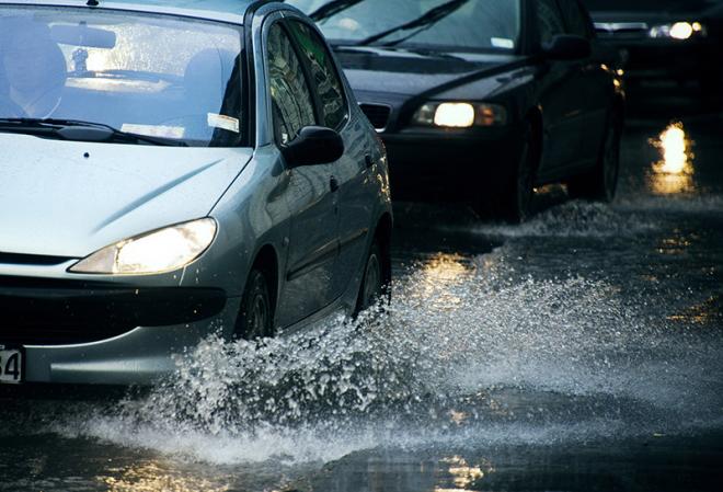
The National Institute of Water and Atmosphere (NIWA) has a Weather Related Hazards research programme, which aims to improve New Zealand's capacity to predict severe weather and its flow-on effects such as flooding and storm surge.
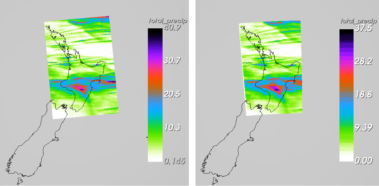
As part of this, NIWA operates a high-resolution convective scale weather model (NZCSM). One of the most critical components of this research is the ability to take high resolution rainfall forecasts from NZCSM and use them as input for TopNet, a hydrological model that is able to predict river flow.
The NZCSM model, like any other Numerical Weather Prediction model, needs to be bias-corrected for flow forecasting when coupled to a hydrological model, TopNet in this instance. This is a challenge because the NZCSM grid cells are not aligned to the observed product grid 5km resolution, for comparison and bias-correction. It's critical not to lose or gain any water data in the process of transferring between the grids, hence the need to conserve water in the model.
Alex Pletzer and Chris Scott from NeSI’s Solutions Team worked with Dr Céline Cattoën-Gilbert, a NIWA Hydrological Forecasting Scientist, and Dr Trevor Carey-Smith, a NIWA Climate Scientist, to tackle this challenge.
The solution involved leveraging software that Pletzer and Scott developed earlier as part of a Deep South National Challenge project, and applying it to this data remapping task. Pletzer and Scott integrated the open-source Earth System Modeling Framework regridding package, developed in the USA, into ANTS, a tool used by scientists at NIWA to prepare and post-process weather data.
The tool developed by Pletzer and Scott understands how different types of grids store their data, whether the grids are longitude-latitude based, use a displaced pole coordinate transformation, or represent a generic curvilinear grid. This makes the tool very easy to use. A researcher simply needs to provide the source data and target grid, and the software will figure out what to do.
“It was great to be able to leverage the outcome of a previous NeSI consultancy project,” says Carey-Smith. “Getting conservative interpolation right is challenging because of the way source cells often overlap many target cells or vice versa. After an initial meeting, Alex and Chris provided a robust solution that runs faster than expected and is easy to use. NeSI’s support on this project has been extremely valuable and will improve the accuracy of our flood forecasts.”
The same interpolation technique used in this work can be applied to other fields where conservation plays a critical role. For instance, the amount of energy, like water, is expected to be maintained over specific areas so for quantities like mass and energy, conservation will always be important.
“It was fantastic to have Alex and Chris’s help and expertise with re-gridding our NWP model for post-processing forecasts for flow forecasting,” says Cattoën-Gilbert. “We have found that NeSI’s consultancy service has enabled us to make big strides in our research projects.”
If you would like to talk to NeSI’s Solutions Team about your project, contact support@nesi.org.nz.


